
Opa-locka Community Redevelopment Agency
Boundary review analysis and community engagement are underway
The project has completed its first three technical phases and is now bringing community input, legal review, fiscal analysis, and field data together. No final boundary recommendation has been adopted, and public feedback remains open as the evaluation continues.
Current Phase
Community Engagement, Legal Review, and Development of Final Recommendations
Project Status
Three of six project phases are complete
Community engagement and the legal review are moving forward while the team develops the final boundary and redevelopment recommendations.
Phases 1 through 3 are complete. Phase 4 is underway, Phase 5 is initiated, and Phase 6 is upcoming.
See the ProcessProject Dashboard
Progress at a glance
- 1Public Workshop Completed
- 30Survey Locations
- 55Field Photographs
- 55Development Projects Analyzed
- $1.02BDevelopment Activity Tracked
30 field survey locations documented
Six Areas Under Review
These are the parts of Opa-locka the review is looking at most closely. Tap any one to read more.
- Ali Baba Avenue CorridorThe main east-west street that ties the city together, from the Tri-Rail station up to NW 151st Street.
- Magnolia NorthA residential neighborhood north of Ali Baba Avenue with parks, infill homes, and older housing stock.
- Magnolia GardensA mostly residential area of apartments and homes reaching east toward the lake.
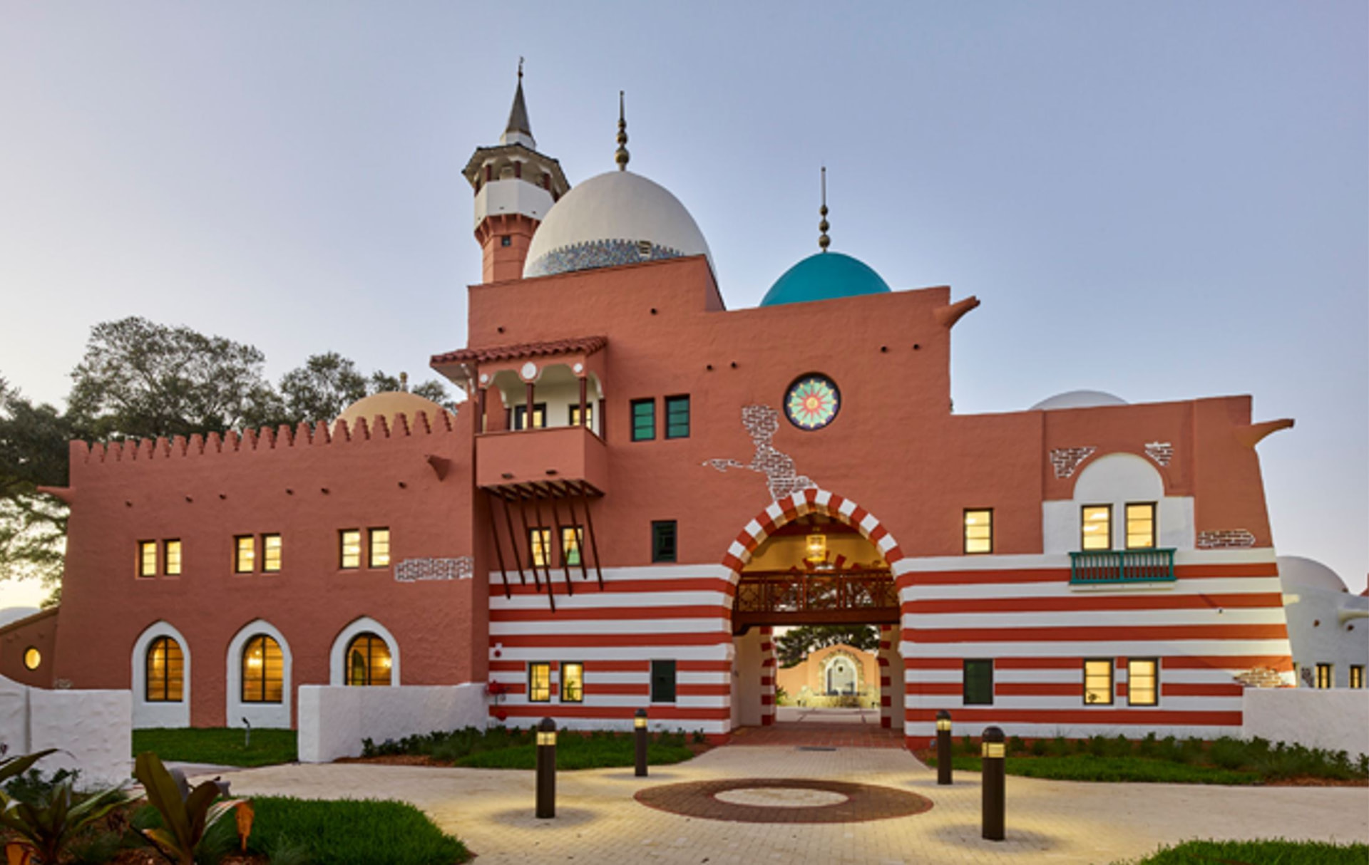
- City CenterHistoric City Hall, Sherbondy Park, the municipal complex, and the downtown blocks around them.
- Opa-locka Industrial/Innovation DistrictWarehouses, workshops, and light manufacturing between NW 22nd and NW 27th Avenues.
- Industrial Area West / LeJeune Commercial AreaThe large-format industrial and airport-adjacent land on the west side, including the Amazon facility and the Executive Airport perimeter.