
Places
The Six Areas
The review is looking closely at six parts of Opa-locka. Being on this list does not mean an area will be added to or removed from the CRA boundary. It means we are studying it.
Ali Baba Avenue Corridor
Map markers 1, 2The main east-west street that ties the city together, from the Tri-Rail station up to NW 151st Street.
It is the most visible street in Opa-locka, with storefronts, vacant frontage, transit, and homes along its length. The review is documenting how the corridor is doing today.
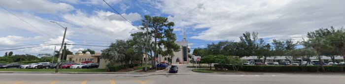 1. Opa-locka Tri-Rail Station
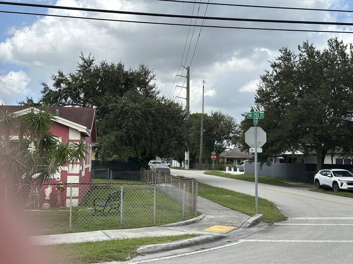 2. Ali Baba Ave & NW 151st St
Magnolia North
Map markers 3, 4, 5A residential neighborhood north of Ali Baba Avenue with parks, infill homes, and older housing stock.
New construction sits next to vacant lots here. The review is looking at how recent investment compares with the blocks around it.
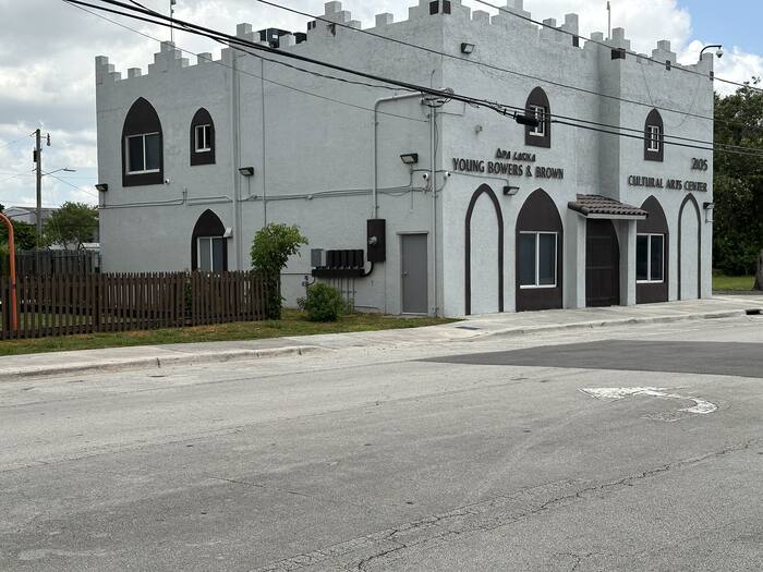 3. Magnolia North Community Park
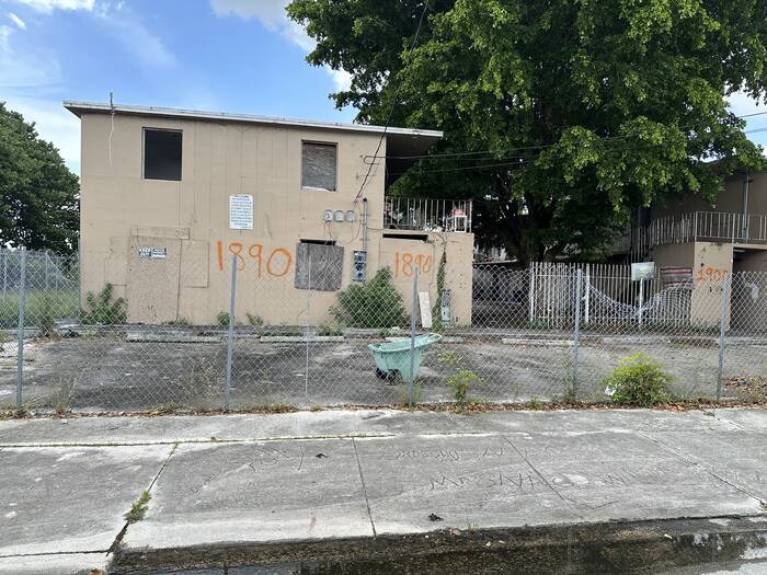 5. Magnolia North
Magnolia Gardens
Map markers 6, 7, 8, 9, 10A mostly residential area of apartments and homes reaching east toward the lake.
Parts of it sit just outside the adopted boundary. The review is comparing conditions inside and outside that line.
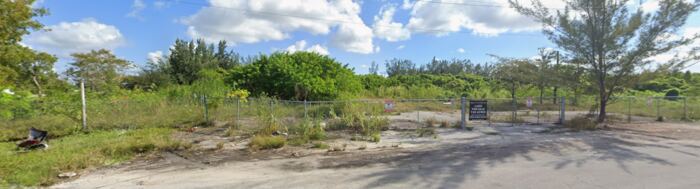 6. Service Rd & NW 18th Ave
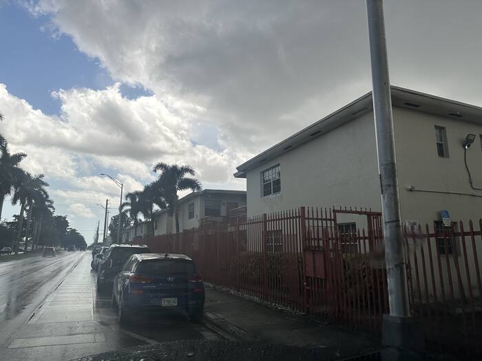 7. 14220 NW 22nd Ave
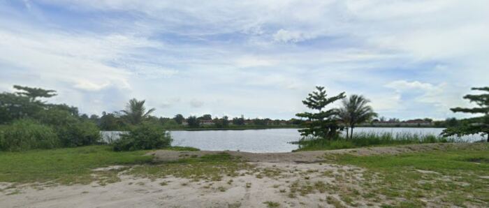 9. Wilmington St & NW 20th Ave
City Center
Map markers 11, 12, 13, 14, 15, 29Historic City Hall, Sherbondy Park, the municipal complex, and the downtown blocks around them.
This is where civic buildings, small businesses, and grant-funded storefronts meet. The review is looking at the edges of downtown.
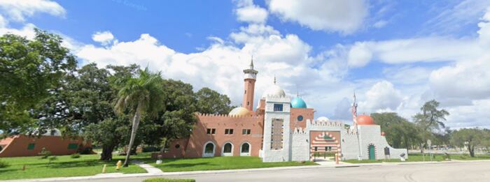 11. Historic Opa-locka City Hall
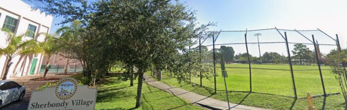 12. Sherbondy Park
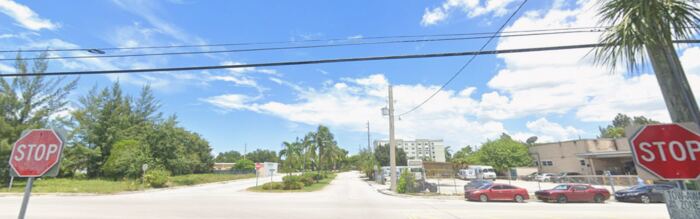 13. Ali Baba Ave & Sharazad Blvd
Opa-locka Industrial/Innovation District
Map markers 16, 17, 18, 19Warehouses, workshops, and light manufacturing between NW 22nd and NW 27th Avenues.
These blocks carry local jobs and truck traffic. The review is looking at how they connect back to the corridor and the neighborhoods.
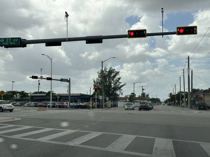 16. NW 27th Ave & Ali Baba Ave
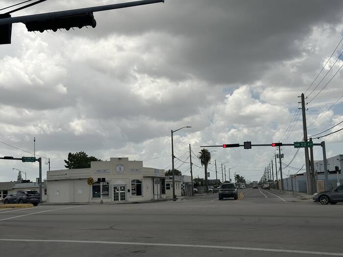 17. NW 22nd Ave & Ali Baba Ave
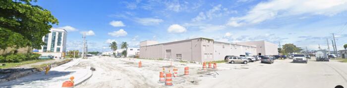 18. NW 147th St & NW 25th Ct
Industrial Area West / LeJeune Commercial Area
Map markers 20, 21, 22, 23, 24, 25, 26, 27, 28The large-format industrial and airport-adjacent land on the west side, including the Amazon facility and the Executive Airport perimeter.
This is where the biggest recent private investment has landed. The review is looking at what it means for the boundary and for future revenue.
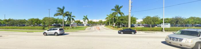 20. Amazon MIA1 Fulfillment Center
 21. NW 135th St & NW 45th Ave
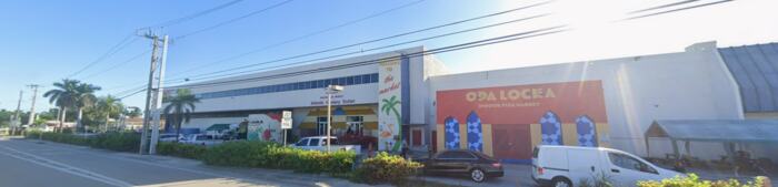 22. NW 42nd Ave & NW 133rd St